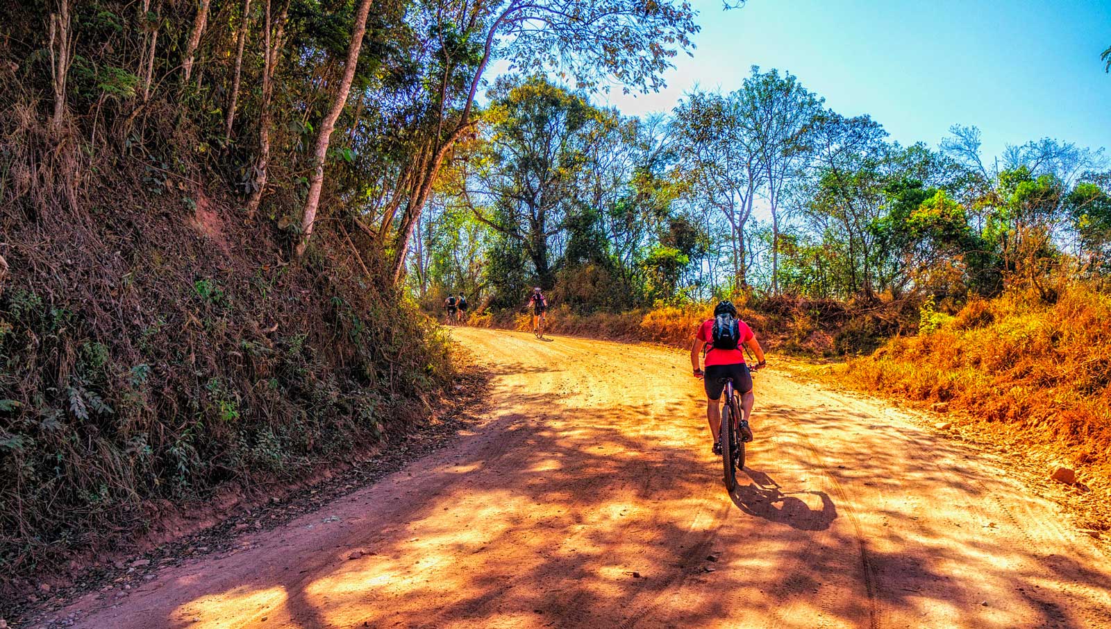
Here are our top 10 mountain bike tours in Isère!
Tour of the Emparis plateau in the Arves massif
A beautiful looped route facing the Meije, starting and finishing in the village of Le Chazelet. The loop includes a passage near the Mas de la Grave peak and circles the Gros Têt. Finally, the route skirts Lac Noir and Lac Lérié. This is a fairly difficult hike, with a technical descent at the end. The difference in altitude is 1533 metres and the distance is over 36 km. Allow around 4h30.
The Moulin Vieux dish
An easy loop ideal for families and beginners: 7.5 km long and lasting less than an hour, it’s also not very technical. The ascent is 104 metres and the descent 129 metres. The circuit is marked out in green and passes by a torrent and its waterfall.
The Vercors foothills
A Grenoble itinerary for experienced mountain bikers: over 46 km long, the route can be planned as a day trip, lasting around 8 hours. The positive altitude difference is over 1500 metres, with a negative altitude difference of less than 800 metres. Sublime views of the Grande Moucherolle summit.
From Chazelet to Rochetaillée via Emparis
Of medium difficulty, this tour is nevertheless aimed at mountain bike enthusiasts, since it consists of a 46 km route, to be completed in around 6h30. The gradients are significant, although not very technical: 1638 metres of positive gradient and 2723 metres of negative gradient.
La Buffe / plateau d’Emparis
Breathtaking scenery for this almost 20 km circuit on the Emparis plateau. Expect to pedal for just over 3h30, with an ascent of 828 metres and a descent of 614 metres. The hike is classified as difficult.
Loop Oisans-Chazelet-La Grave
Another hike on the Emparis plateau near our campsite in Bourg d’Oisans, with this rather difficult 23 km loop for almost 5 hours of effort. The 1000-metre ascent includes a 19% gradient and a 250-metre uphill portage section.
Le Louvet
An easy loop ideal for families and beginners: 7.5 km long and lasting less than an hour, it’s also not very technical. The ascent is 104 metres and the descent 129 metres. The circuit is marked out in green and passes by a torrent and its waterfall.
Besse-en-Oisans – Le Chazelet
A sublime mountain bike stage, 21.4 km long and lasting around 4 hours, with a positive altitude difference of over 1000 metres and a negative altitude difference of 850 metres. The scenery, dominated by the Meije and the Aiguilles d’Arves, is grandiose.
The plains of Bourg-d’Oisans
A 22 km rolling, medium-level route, with a return to the starting point and part of the circuit forming a loop. The hike lasts between 2h00 and 2h30. The difference in altitude is slight, 266 metres positive and 278 metres negative. Discover the Pisse waterfall and the banks of the Vénéon.
The Cassini Cross tour
A high-level hike, marked out in black, 43 km long and lasting approximately 7h00. The difference in altitude is over 1500 metres. The climbs and descents are steep. An electrically-assisted mountain bike allows you to complete the tour in 3 hours.